Council develops new animal control app
Wairoa District Council has launched a new smartphone app aimed to help people report animal control issues directly to the council.
A demonstration of the GoRoam app was presented to councillors at their council meeting on last week.
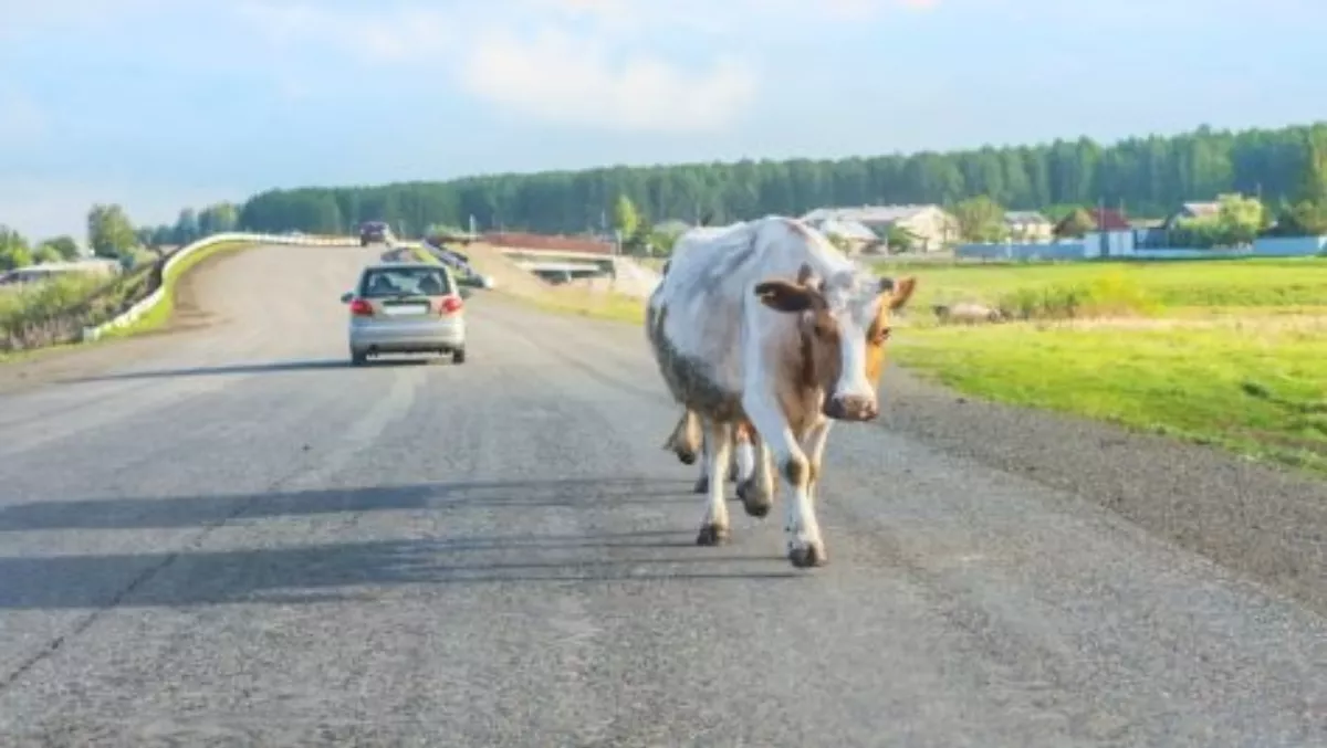
Issues such as aggressive dogs, dog attacks or wandering stock on roads can be reported via the app.
Russell McCracken, Wairoa District Council Geographic Information Systems Officer, who lead the development of the new application, says anyone in the Wairoa district who has a smartphone will be able to report animal control issues.
"The app is a user-friendly and efficient way for the community to communicate with Council and for Council to receive detailed information to help address issues," he says.
A member of the community faced with a wandering or dangerous dog could enter their contact details, a photograph and/or a description of the dog, and dispatch an alert to Wairoa District Council. Geodata captured by the phone, providing the precise location of both the user and where the actual event occurred, along with a photo identifying the animal, would be received by Council Animal Control Officers.
The system is linked to Council's databases, and officers will quickly be able to cross-reference information to assist with identifying the animal. Community members who report issues will also be informed that a response is in progress.
The council partnered with Fielding-based information management and software development company Master Business Systems to develop the app, which is a first of its kind for New Zealand, McCracken says.
Master Business Systems designs apps for territorial authorities and has worked with a number of councils throughout the country. The app will integrate to council's back-end system and merges spatial and corporate data, allowing that data to be utilised in the field for data collection using standard mobile devices. All data capture is subsequently updated back into council's corporate database and optionally GIS systems.
The app is a multiplatform application and will run on Android, IOS and Windows and is designed to make it almost effortless for members of the community to report issues involving animals to the Wairoa District Council, McCracken explains.
He says the council worked closely in the development and design of the app. Council staff were involved in the alpha and beta testing, and have heavily affected the look and feel of the app.
Wairoa District Council Chief Executive Officer, Fergus Power, says every member of the community who carries a smartphone now has an enormously efficient protective device at their disposal - one which will make reporting issues about animals and enforcement action many times more effective.
"Take for example a member of the public who comes across a wandering horse or cattle beast on SH38 (the route to Lake Waikaremoana). They can still use the system even if there is no mobile phone reception," he says.
"The phone retains the geodata relating to the event, and as soon as the phone comes into a reception zone, the event is transmitted to Wairoa District Council, with photo/geolocation data identifying the precise location of the problem, and allowing officers to respond and protect the safety of the public.
"The applications of this new app could be quite broad, anyone in the Wairoa district who has a smartphone could potentially report graffiti, vandalism, fallen trees and other issues - all of which will reinforce the approach of council in delivering quality service to the community", says Power.
Wairoa District Council Animal Control Officer, Paul Dorrestein, says the new app is a 'cool development' for the community, and it's important to know that with the release of the app to the general public, the council will now be able to look at a 'user testing' phase.
"We've been able to do a whole heap of testing out in the field to work through some of the bugs and gremlins, but it's not until we get the public using the new app that we'll be able to really look at where improvements need to be made," he explains.
"I think a good month of testing with the community, our users, should give us some really good insights on where to make the necessary improvements and to clarify how this app works in terms of our actual jurisdictions," Dorrestein says. "For example, we get calls because people have discovered a seal on their property, we would usually refer this type of enquiry to the Department of Conservation, or if there are feral goats on the road, this is not within our jurisdiction and not covered under our local authority bylaw, but we will need to see how this app works in referring these types of enquiries onto the right organisations.
"But I'm quite excited to see how our community engages with this new app, it will become a really powerful reporting tool for our community and for us and will also allow us to capture data and information that we wouldn't have been able to capture previously", Dorrestein adds.
The app can be downloaded on Windows and Android and will become available for IOS in about a month's time.


