How AI could warn civilians before a volcanic eruption
Mon, 18th Mar 2019
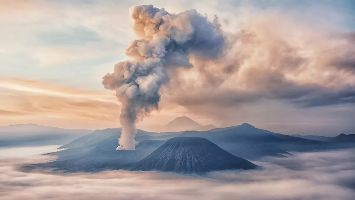
Around the world, about 800 million people live within 100 kilometres of a volcano, posing a threat to lives and livelihoods. Even eruptions that occur in remote areas can spread ash and disrupt public health, agriculture and economies.
Some volcanoes spew lava all the time, while others erupt only once in every few hundred or thousand years. This makes it difficult to understand these natural disasters on a global scale.
However, deep learning can help researchers better spot signs of volcanic activity, according to Fabien Albino, a postdoctoral researcher at the University of Bristol School of Earth Sciences, and Nantheera Anantrasirichai, a research fellow in the university's Visual Information Laboratory.
Researchers traditionally use ground-based stations equipped with GPS or tiltmeters to detect changes in the surface of a volcano. But not every volcano is easily accessible or near research centres. So scientists have turned to remote sensing methods like satellite data.
Combining their respective expertise in earth science and deep learning, Albino and Anantrasirichai are using neural networks to analyse interferograms. These radar scans detect when the distance from a satellite to a point on the ground changes. This makes them a good tool for identifying the ground deformation that occurs when a volcano's magma heats and expands before an eruption.
The pair trained a deep learning model on 30,000 interferograms covering about 900 different active volcanoes using BlueCrystal, the University of Bristol's supercomputer, which is powered by NVIDIA P100 GPUs.
They hope to narrow down the number of interferograms an expert would have to manually examine for signs of volcanic activity, and allow scientists to study broader trends.
"Before, researchers would look at one country, one volcanic arc. Now we can give an idea of what's going on at a global scale, which enables an operational global alert system for volcanic unrest," Albino said.
Albino and Anantrasirichai are improving the model to better distinguish atmospheric changes, which look similar to ground deformation signals and can lead to false positives. With the help of synthetic data, the researchers are working on a follow-up study which has already shown a large reduction in the rate of false positives.
"Instead of an expert looking through 30,000 interferograms, they'd only have to look at 50," said Anantrasirichai.
Once volcanic deformation is detected in a particular volcano, local scientists can focus their attention and ground-based monitoring instruments to that site. Depending on the volcano, seismic activity and ground deformation can begin anywhere between a few hours and several months before an eruption occurs.
For the nearly 1 billion people who live near volcanoes, this advance monitoring could lead to better disaster planning and evacuation warnings in the event of an eruption.