South Australian map technology supporting Kangaroo Island bushfire efforts
Thu, 13th Feb 2020
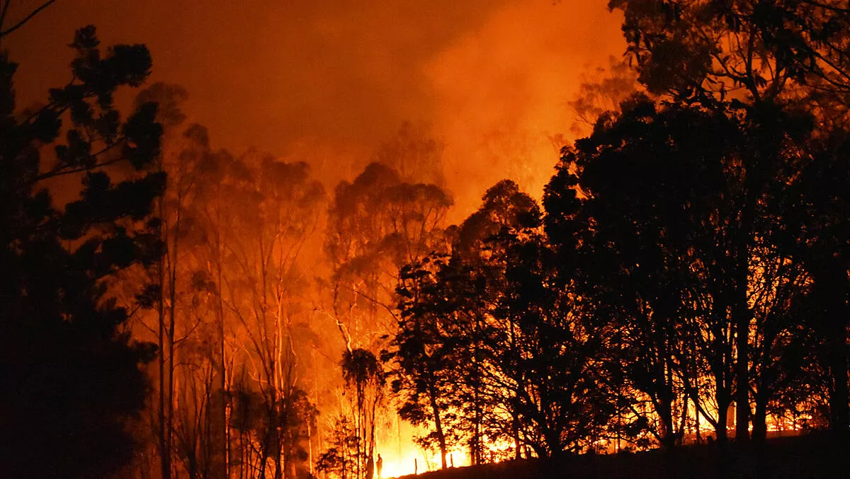
New technology developed by FireFlight has provided real-time maps of the Kangaroo Island fire-front, supporting the efforts of the Australian Army and relief and recovery operations teams on the ground.
The South Australian company's aerial mapping system was deployed in a single engine Piper aircraft flown over fires at 10,000ft, and the images taken were used by members of the Australian Army to plan and execute recovery and relief operations, in support of emergency services and local communities.
Thanks to specialist thermal imaging cameras, high precision GPS and advanced data processing software, FireFlights fire mapping system can provide real-time maps of wildfires as well as details of post-fire hotspots, underpinning a strategic and efficient plan to fight fires and aid recovery.
Founder and CEO of FireFlight, Dr Paul Dare, began developing the fire mapping technology 15 years ago, and has commercialised it after participating in the Venture Catalyst Space program at UniSAs Innovation - Collaboration Centre.
"During my time as a volunteer firefighter, I could see the impact that climate change was having on the frequency and severity of bushfires in Australia and overseas, which is when I decided to use my skills as an airborne imaging specialist, to develop a fire mapping system," Dare says.
"The invaluable mentorship and support I received as part of the Venture Catalyst Space program has supported the development of a commercialised product that's already being used to fight Australia's bushfires," he adds.
Associate Director of the ICC, Jasmine Vreugdenburg, says she is pleased to see FireFlight make such a strong and valuable contribution during the bushfire emergency.
"Commercialising business ideas that use technology to solve real world problems is a core function of the ICC, and we're really proud to see that FireFlight has, and is making a significant impact on, our capacity to fight fires and recover from them," Vreugdenburg says.
"This is an instance where we have seen an innovation that is so significant in the Australian environmental context quickly become available and useful."
The Venture Catalyst Space Program provides support to get concepts project ready and connections to key industry partners, which is critical to helping companies such as FireFlight to develop products and go to market with their technology.
What is the FireFlight system
FireFlight is a new airborne fire mapping system that provides real time fire maps, and post fire hotspot maps to fire managers, fire agencies and other relevant stakeholders. The FireFlight system is cheap to deploy and easy to use. FireFlight systems are shipped from Australia and operated by local pilots in fire danger regions worldwide.
How does FireFlight work
The FireFlight system uses thermal sensors connected to a GPS and computer, and mounted in light aircraft. The flight management softwar,e which ties the system together provides pilot navigation, camera control, data communication and real time image interpretation. Software on ,ground-based servers receives the fire maps from the aircraft, combines them with other useful geographic information, and makes the result available on a secure website.
"The traditional approach to fire mapping is to have a small number of high value assets: large aircraft with imaging systems worth hundreds of thousands of dollars. FireFlight operates multiple low cost fire mapping systems, geographically spread over a wide area, which can be more effective than a few expensive fire mapping systems with limited geographical coverage," explains Dare.
"And by having many more systems available, the impact of system or aircraft failures is greatly reduced."