UK tackles mapping challenges for self-driving vehicles
Thu, 11th Jul 2019
Great Britain is taking charge on developing global standards for high-definition mapping essential for the safe deployment of self-driving and autonomous vehicles.
Zenzic, a UK organisation for self-driving vehicle deployment, and Great Britain's national mapping agency Ordnance Survey, have been working together to define the global standards for high-definition mapping.
"The UK's goal is to be able to benefit from self-driving vehicles on our roads at scale by 2030, a target that requires the development of technologies and tools which do not fully exist today," says Zenzic CEO Daniel Ruiz.
The organisations are also rallying for the creation of common data standards that allow for collaboration on data mapping for self-driving vehicles.
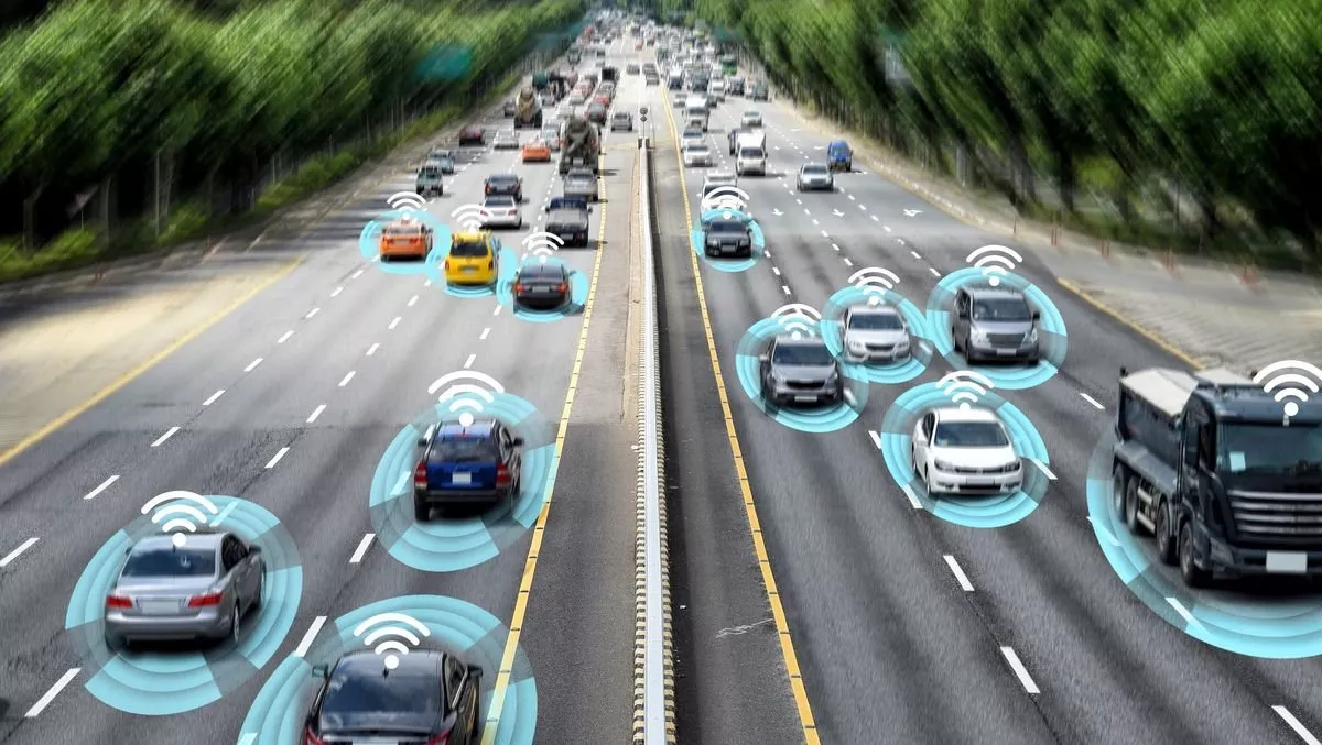
These two areas are important because vehicles do not currently have a single source of high-definition mapping data; instead those developing self-driving technology must develop their own from the ground up.
While the two organisations are primarily looking at the UK as a testing ground, they are also promoting discussion about standards that could be applied worldwide.
Ordnance Survey suggests a neutrally hosted platform for mapping data would increase the confidence in the data as it comes from multiple sources and would help different self-driving vehicles co-exist on the same piece of road. For this to work standards for how data is collected and shared will need to be implemented globally.
There are several other issues that must be considered before self-driving technology is safe.
The level of detail required for self-driving vehicle mapping – resolution will need to be better than five centimetres to ensure vehicles can operate in complex environments. Maps will also need to include information on curbs, street-level features like lamp posts, pedestrian crossings and road markings, according to the two organisations.
Real-time updates to maps will also be crucial to let self-driving cars 'see' around corners for temporary objects in the road like skips or roadworks.
Self-driving vehicles will need a new generation of live maps. These vehicles use a range of sensors to 'see' the world around them. However, interpreting that information in real-time requires a lot of processing power.
With high-definition maps which are updated in real-time, a self-driving vehicle is able to reference the position of other road users against what it already knows to be there.
It also provides a back-up in situations where its sensors are less effective. Adverse weather conditions like heavy rain or sun reflecting off a wet road can make relying on sensor data alone difficult.
The research is being carried out in partnership with Zenzic, which was created by the UK Government and industry to coordinate a national platform for testing and developing connected and self driving vehicles in the UK and is channelling £200 million in investment into the British self driving industry.