Mapping stories

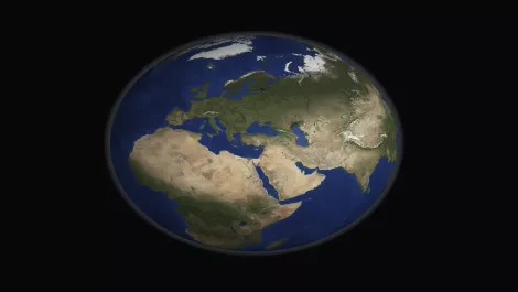
Commercial drone automation set to soar across industries
Fri, 23rd May 2025
#
agricultural technology
#
surveillance
#
edge computing
A Forrester report finds 78% of automation leaders plan to implement aerial drone automation within a year, boosting efficiency across industries.

Apple Maps updates feature Indigenous lands & cultures
Thu, 27th Mar 2025
#
edutech
#
apple
#
cloud services
Apple has unveiled initiatives in Australia and Aotearoa New Zealand focusing on cultural preservation through updated Indigenous mapping and educational grants.

Tech trio Carbonix, RIEGL & Phase One revolutionise aerial surveying
Tue, 5th Mar 2024
#
uc
#
digital twins
#
agentic ai
Leaders in drone technology, Carbonix, teamed with RIEGL and Phase One, to revolutionise aerial surveying and geospatial data acquisition, paving the way for efficient large-scale 3D terrain mapping.

New Chief Product Officer appointed at LogicMonitor
Wed, 25th Jan 2023
#
data analytics
#
data science
#
martech
LogicMonitor appoints Taggart Matthiesen as its new Chief Product Officer, responsible for overseeing all aspects of product strategy for the company.

Exclusive: Curbing staff and skill gaps with AbilityMap
Fri, 4th Nov 2022
#
hcm
#
recruitment
#
payroll systems
With chronic staff and skills shortages plaguing industries across the globe, having a good overall understanding of the people within a workforce is crucial.

Globalization Partners adds employment platform capabilities
Wed, 2nd Nov 2022
#
hcm
#
agentic ai
#
payroll systems
Globalization Partners (G-P) has unveiled the next generation of its Global Employment Platform with a range of new capabilities.

Startup's 'super-map' takes on Google Earth
Thu, 22nd Aug 2019
#
spacetech
#
google
#
google maps
Soar launches its 'super-map', poised to rival Google Earth by offering near real-time global imagery from satellites, drones, and aerial cameras.

UK tackles mapping challenges for self-driving vehicles
Thu, 11th Jul 2019
#
cartech
#
self-driving cars
#
autonomous vehicle
The UK is spearheading global standards for high-definition mapping crucial for the safe deployment of self-driving vehicles, aiming for wide-scale use by 2030.

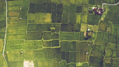
New software for drone footage mapping and analysis
Wed, 3rd Apr 2019
#
agricultural technology
#
drones
#
dji
DJI Terra allows drone pilots to quickly generate 2D maps and 3D model reconstructions, plus analyse data and generate insights with analysis tools.
Microsoft teams up with TomTom to launch Azure Location Based Services
Fri, 1st Dec 2017
#
uc
#
public cloud
#
iot
Microsoft is launching a new Azure service that aims to meet the geospatial needs enterprise customers that use location data.
Govt. puts $800,000 towards 3-D aerial mapping of Northland
Thu, 7th Sep 2017
#
3d technology
#
mapping
#
lidar
The data can be used by forestry companies to help plan their logging operations and horticulture companies for sustainable land management.

ThunderMaps: Making the world a safer place, one dangerous location at a time
Mon, 9th May 2016
#
mapping
#
sotw
#
startups
New Zealand-based app ThunderMaps enables users to crowdsource hazard locations and receive real-time warnings.